Site intelligence for the whole Moon
The whole Moon, made clear.
MoonSnag turns NASA's public Moon data into landing-site maps, robot-ready imagery, funding alerts and a live mission tracker.
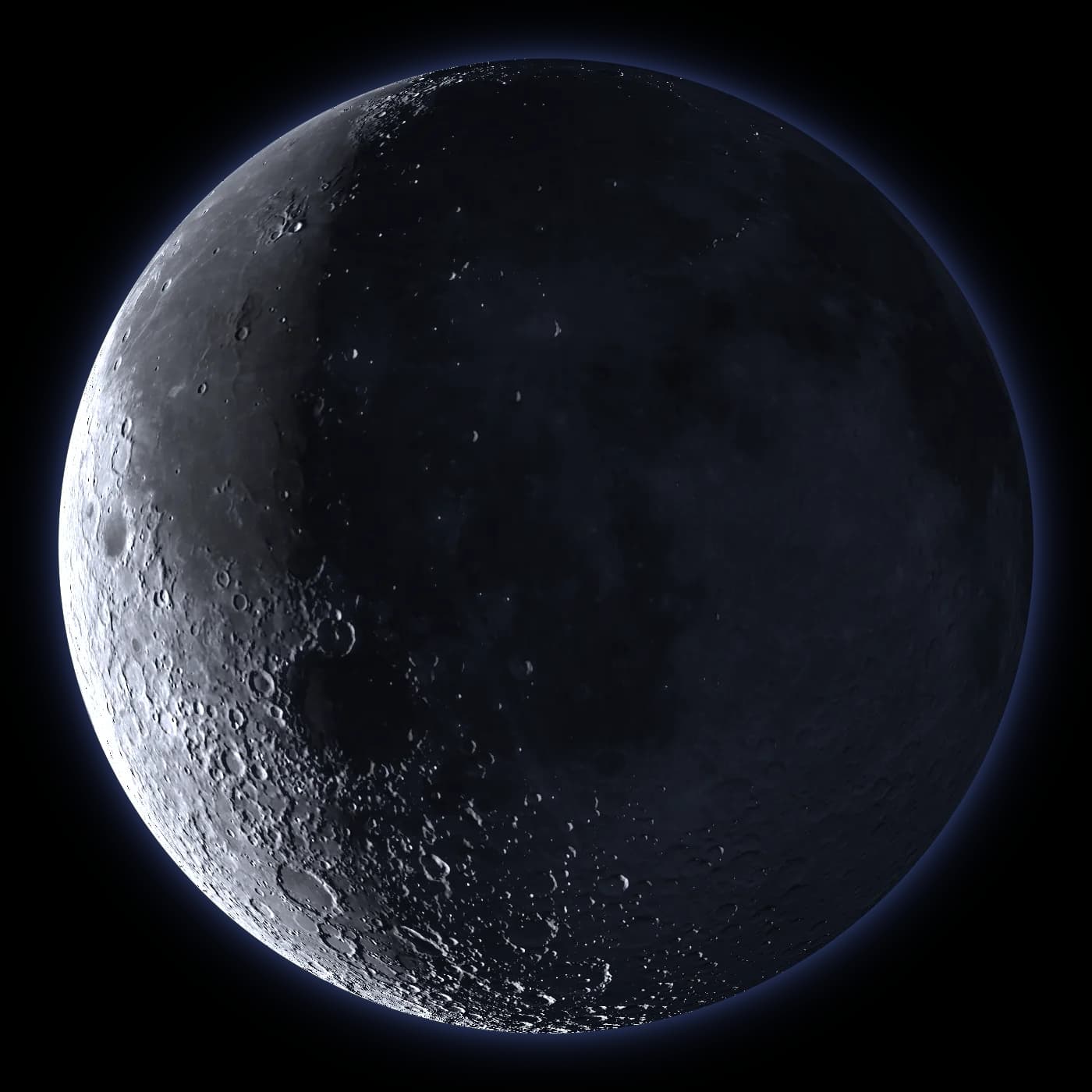
Four tools. One Moon.
Each answers one question, free to start.
 Mission plannersFind a safe place to landCheck a landing spot: is it flat, sunny and in view of Earth? South pole in detail now, the rest of the Moon next.Open the map
 Robotics and AI teamsTrain your robot's eyesLabeled pictures of real lunar terrain under every kind of sunlight, to train robots before launch.See samplesCompanies and universitiesFind Moon fundingEvery Moon grant and contract from NASA, ESA and others, in plain English, emailed weekly.See what's open
 EveryoneFollow the Moon todaySpacecraft at the Moon now, every landing so far, and who is landing next.Open Mission Watch
How it works
NASA’s Moon data is free but scattered. We combine it, check it against NASA’s own maps, and give you a plain answer.
Start free.
No card needed to look around. Compare plans →
Building a robot for the Moon?
Labeled training imagery for your site, dates and camera, checked against real photos from orbit.
Buy a dataset pack